
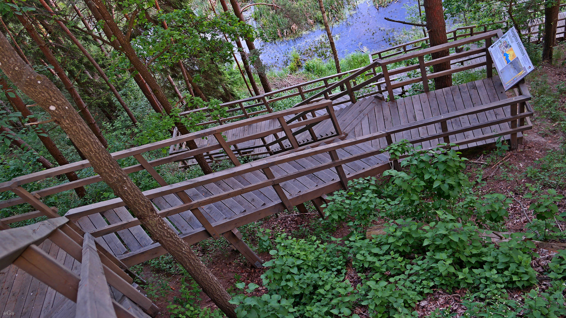
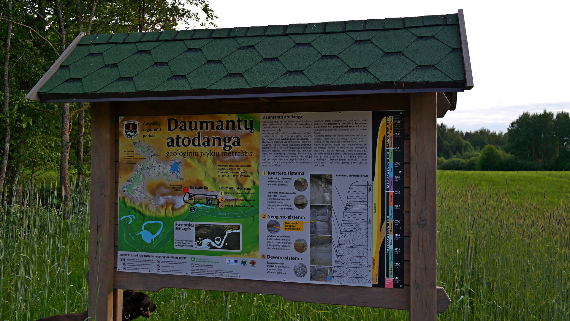
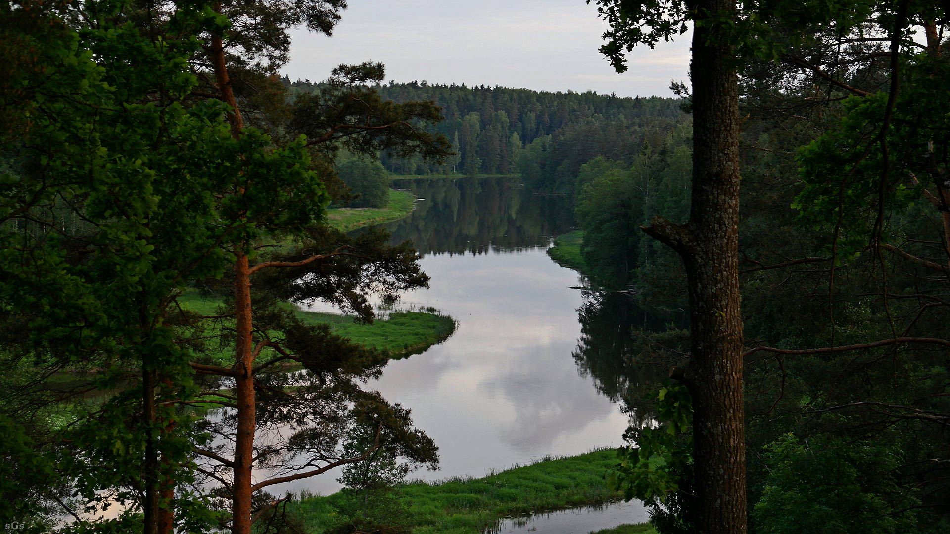
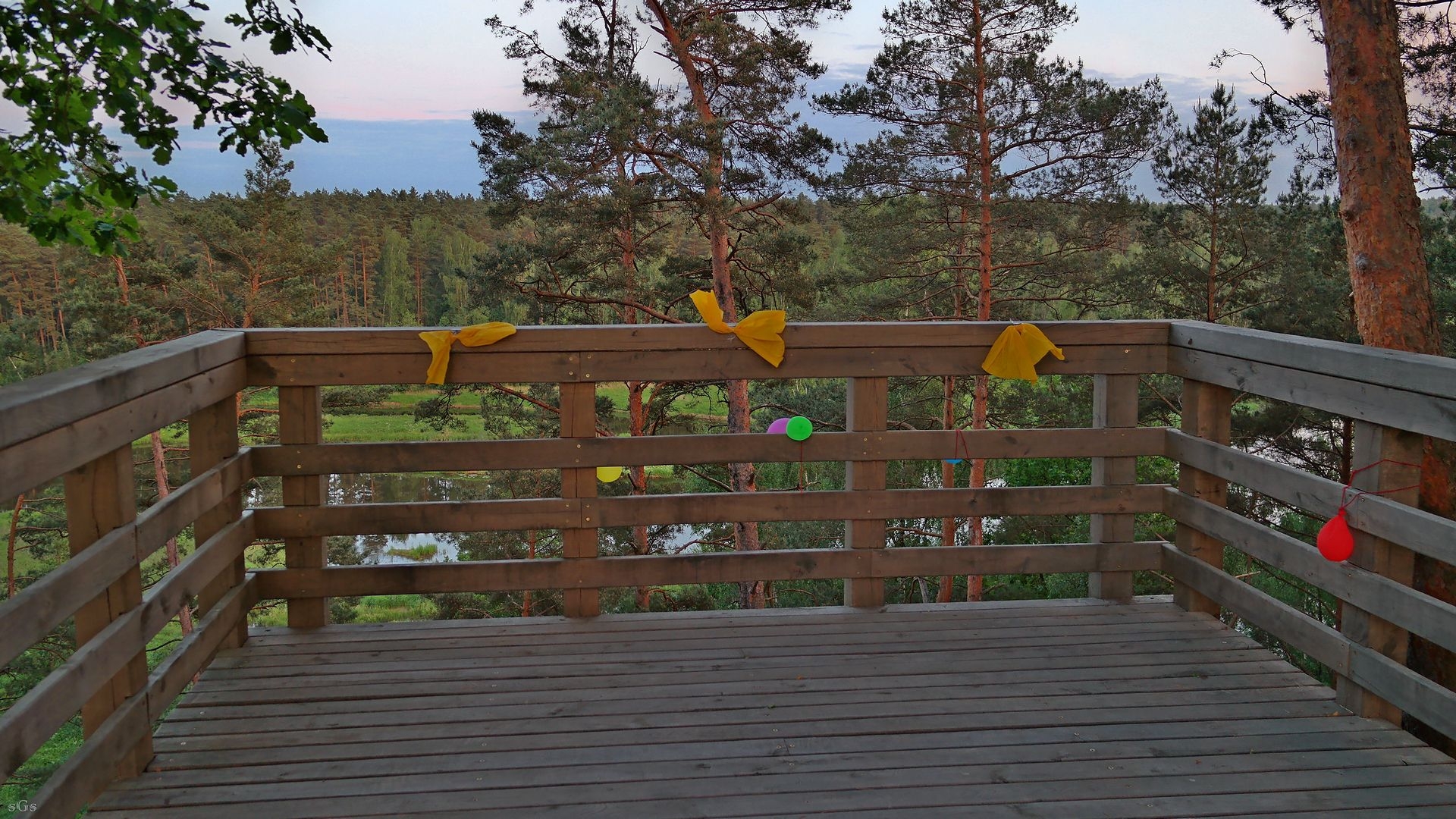
This is a unique escarpment, with three geological layers opened up. Its underside is exposed in the upper Devonian sandstone and Neogene period quartz sand layers - the key Madona district subsoil assets. From about 300 meters long and 27 meters high steep right slope of the river Šventoji spectacular scenery. There are stairs, trails, and an observation deck built in dock. River slope can conveniently view rock strata occurring in Devon , Neogene and Quaternary - prepleistoceno and Pleistocene , formed approximately 1.8 to 0.8 million years.The government's protected natural heritage sites Daumantų exposure was declared in 2013 .

+4
Tai kad yra tos koordinatės, tiksliau - nuoroda į google maps su tikslia vieta: 55°26'45.5"N 24°59'05.7"E arba 55.445971, 24.984917.
Pageidautina tikslesnio adreso, kad turistams būtų lengviau rasti. Gali būti net geografinės koordinatės. Sėkmės